Hikes and bike tours, mostly
Some years ago I bought a GPS data logger.
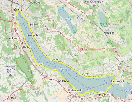
I sometimes use it to record my movements, mainly for hikes in the mountains or for bike tours. The results can be exported and
viewed with various viewers, e.g. in Google Earth, Google Maps or with Open Street Map
(which is what I am using now, because Google became a little more unfriendly in regards to showing KML/KMZ on their maps.
I wrote my own tool (in Java) to edit the route afterwards. Nowadays there probably are better ones around, but it still fits my needs:
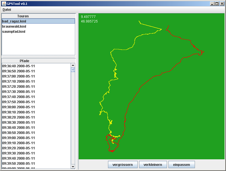
Here is the download link. Enjoy!